Rail to Trail: The Revival of Shadow Lake
Waterford’s rail history
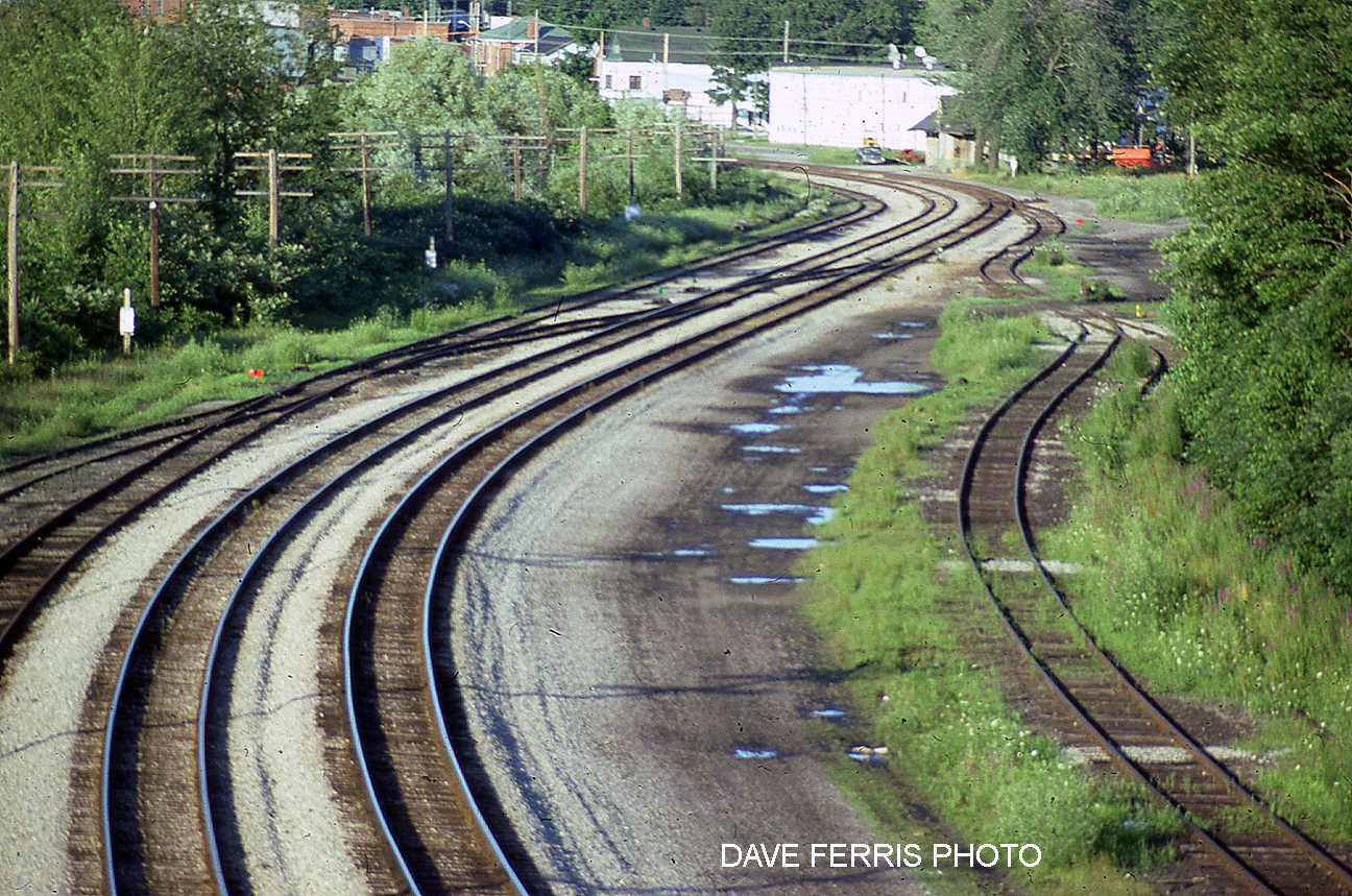
During the golden age of rail in the first decades of the 20th century, Waterford was the junction point of three railroads. An intricate intersection of switches and track alignments allowed trains to transfer from one rail line to another to head in a different direction. Trains could even be turned around to travel in the opposite direction on the same line.
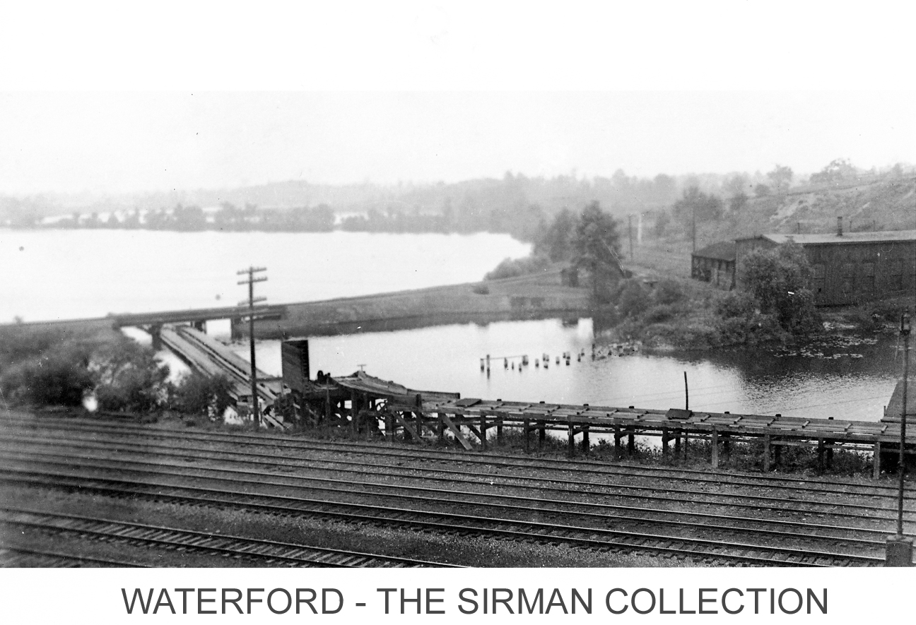
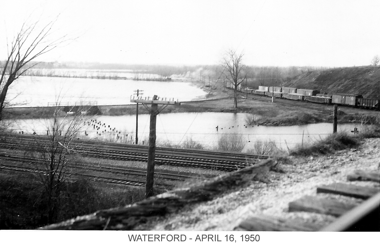
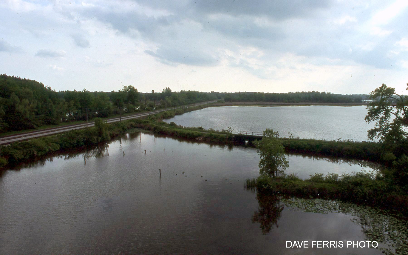
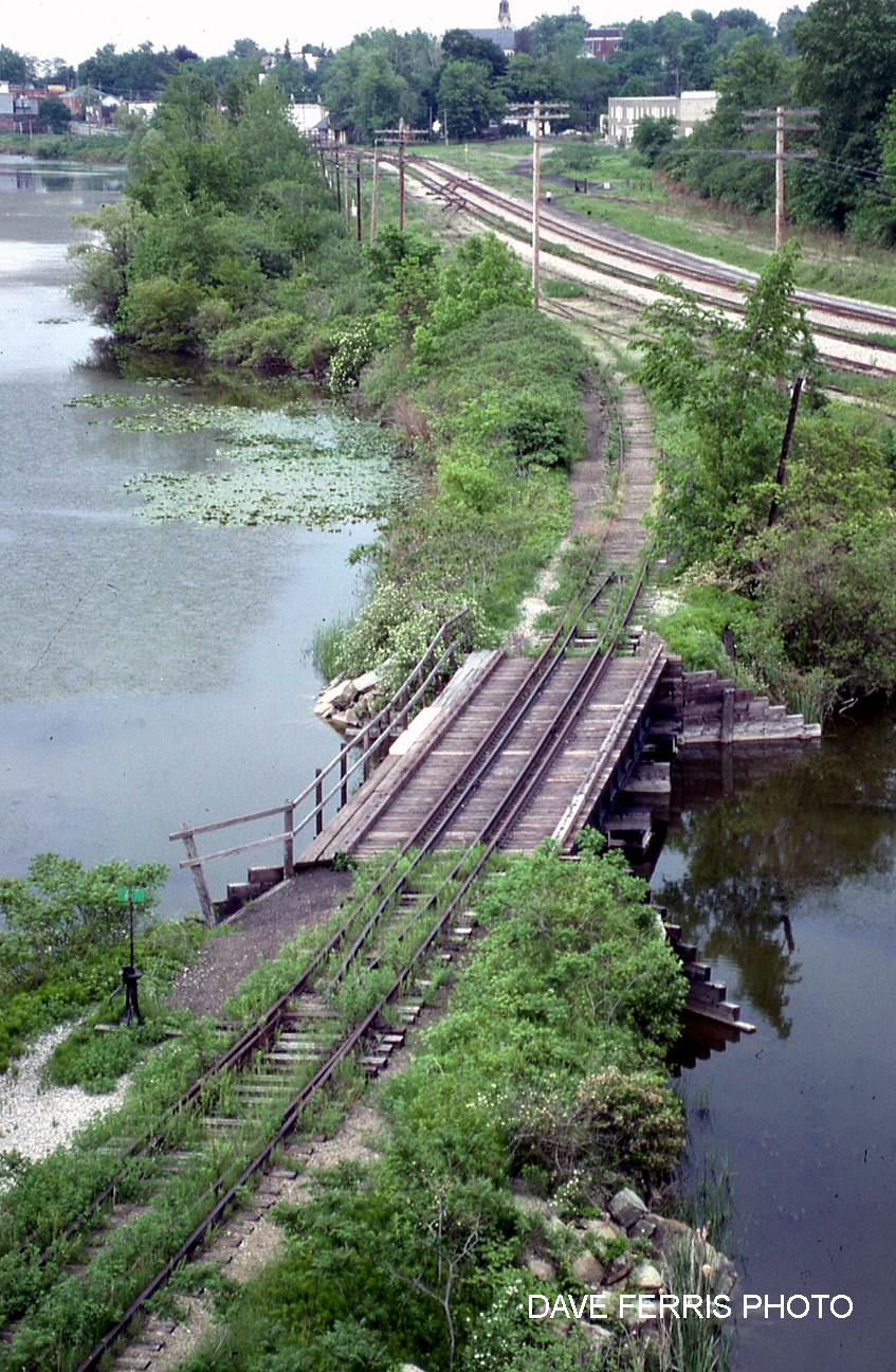
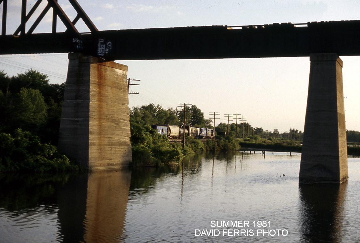
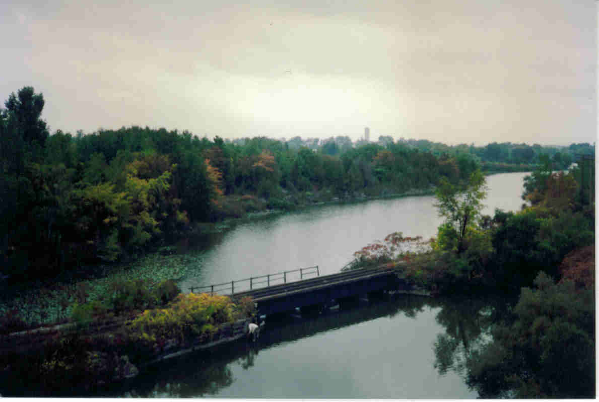
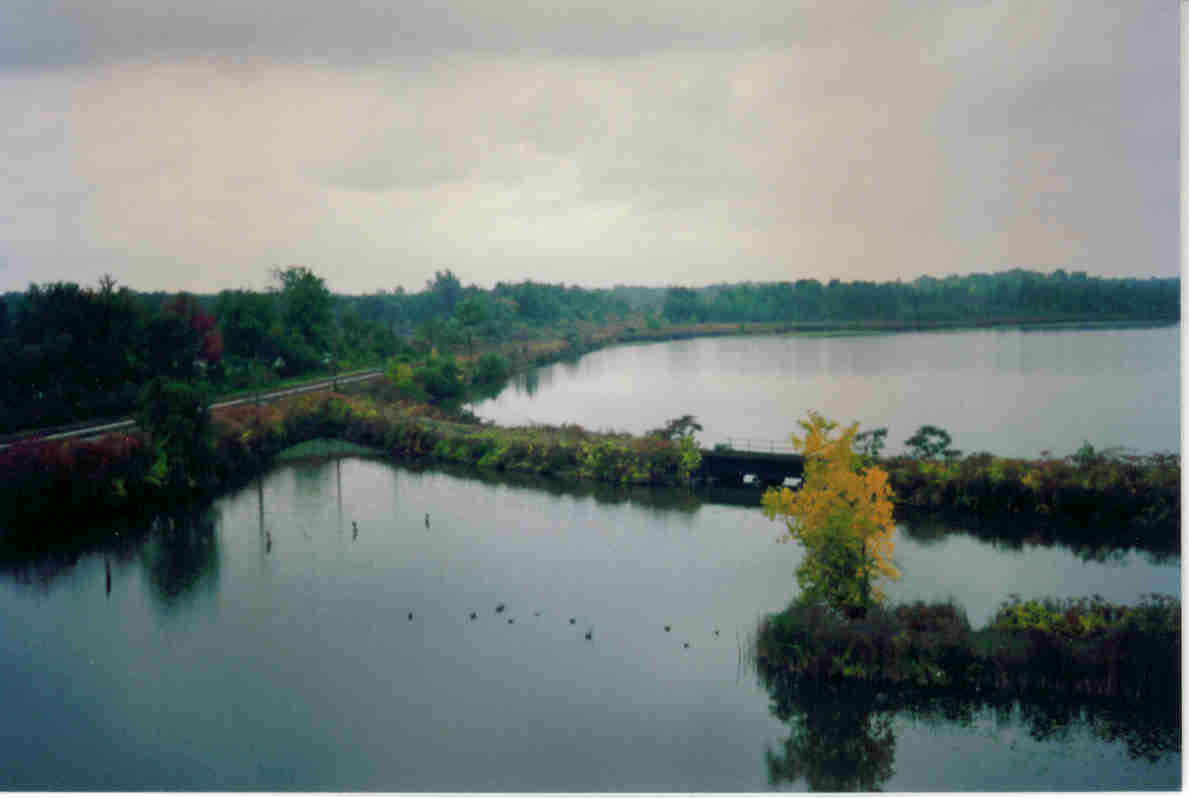
Viewed from the north, the intersection appears as a “Y” shape with bridges on both arms spanning the Waterford Ponds. These bridges were removed in the 1990s when the rail beds were dismantled.
The “East Gap” as it became known, requires a bridge to complete the Shadow Lake Trail loop.
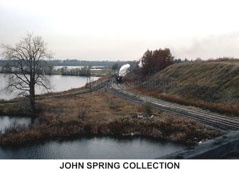
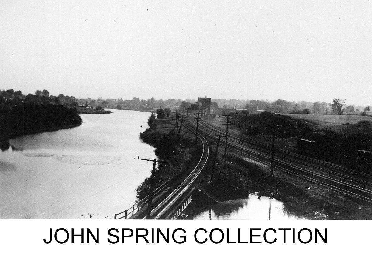
Above: A steam train approaches from the north heading towards the “East Gap” bridge to the right of the photograph. Note the lack of vegetation between the arms of the “Y” in this undated photograph.
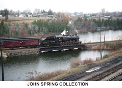
Above: A steam train crosses the “East Gap” bridge in this undated photograph. Note how the vegetation has changed.

Above: This undated hand-drawn depiction of the Waterford junction shows the location and number of tracks and sidings, structures and some geographic features. Note: North is to the right.
Waterford Rail Lands Redevelopment Committee (RLRC)
In 2011 the Waterford Rail Lands Redevelopment Committee, now known as the Shadow Lake Committee, launched an initiative to transform the abandoned railway lands surrounding the ponds into an attractive functional recreational area. The goal was to enhance the outdoor experience for the residents of Waterford and beyond.
Prior to the launch of the project, Waterford’s waterfront was barely visible, let alone appreciated or enjoyed. The railway corridor had been unused and untended for several decades. It was easy to imagine the area could be a better place that would retain its rustic look, but where hikers and cyclists could access the Waterford Heritage Trail, anglers could access water for fishing, with multiple spots to stop and appreciate the tranquil scenes.
The Waterford RLRC was inaugurated on May 26, 2011. Present, were Mark Boerkamp (representing Norfolk County), Terry Bonnet (Waterford Heritage Trail President), Frank Woodcock (Waterford Heritage Trail- Treasurer), David Douglas (Citizen), Karen Lindsay (Waterford and Townsend Historical Society), Cheryl Murphy-Simon (Waterford and District Horticultural Society), Melissa Collver (Waterford Heritage and Agricultural Museum- Curator), Paul Hrvoyevich (Waterford Lions), Andy Kooistra (Citizen and Convener), all of whom had expressed an interest in seeing the abandoned railway property, recently acquired by Norfolk County, developed into a usable recreational area.
The initiative has the enthusiastic backing of the county and at the suggestion of Mark Boerkamp, it was decided that organizationally, a simple way forward was to have our group become a committee of the already established Waterford Heritage Trail. Subsequently, Mr. Frank Woodcock and Mr.Terry Bonnett, executives of the WHT placed the proposal before their board and the arrangement was agreed to.
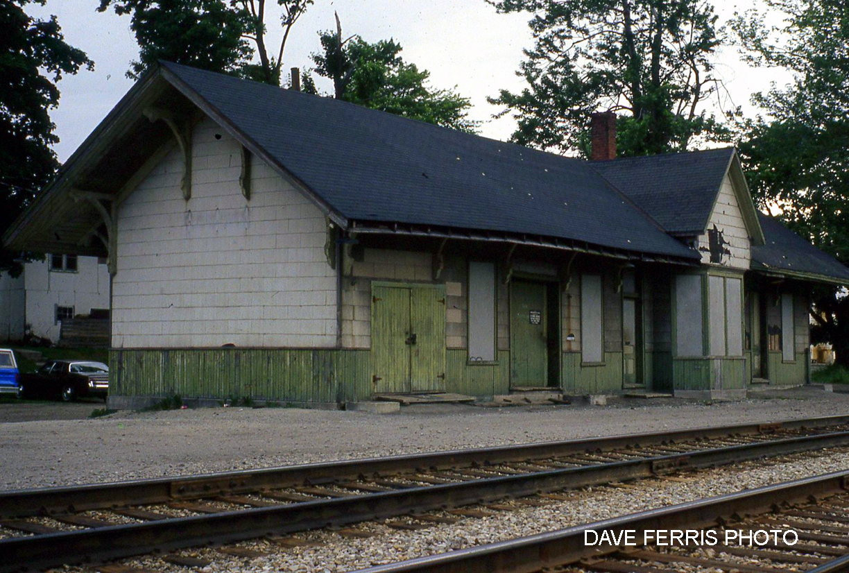
The purpose of our group is to pursue the development of the area defined loosely as that portion of land from Main St to the “Black” Bridge to Mechanic Street. We foresee a green space that includes the Waterford Trail, incorporates the Old Train Station and the Museum, enhances the existing fishing and boating activities and generally promotes the use of the site by all residents of our town.
The committee has been actively perusing avenues of funding. We have retained Robert Judd to develop an initial concept drawing of the entire area. We have initiated contact with all authorities that have jurisdiction.
We presented the concept to the public in 2012 and it was our intention that the development process continued to be as open as possible and we encouraged ideas from all interested parties. Minutes of our meetings are to be available upon request.
The vision was to build a place that enhanced current activities and promoted use by residents and visitors alike. The committee launched a plan to develop the area defined loosely as that portion of rail lands from Main St to the “High Level” Bridge that included:
2018
- Installation of Bloomsburg Pollinator Garden and kilometre marker posts for sponsorship.
- Bat, bird and bee houses were assembled by Bloomsburg Public School to erect along the trail.
- Granular surface trail constructed from West Gap Bridge to Mechanic Street (Concession 8).
2017
- Clean-up and establishment of the Fitness Trail at the west end.
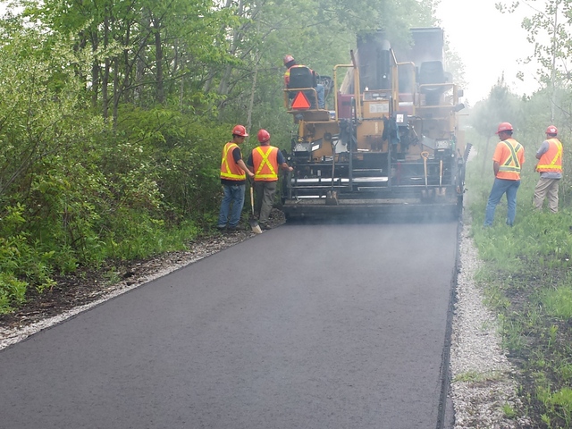
- Paved from the boat ramp to Golden Pond Senior’s Residence.
2016
- Waterford Post Office uses Black Bridge Centennial cancellation stamp.
- New WHT logo established.
- Sarah Bonnet joined the Board, creating the position of Volunteer Recruiting and Supervising.
- Clean-up focused on the area behind the Museum preparing for removal and installation of telegraph poles to be used for banners, clearing foundations of the water tower for interpretive signage, painting over silo graffiti, painting over trestle abutment graffiti.
- June – Waterford Farmer’s Market uses a section of our leased land.
- Long Point Biosphere erected two “10 Most Amazing Places Norfolk” signs on Black Bridge.
- July – Waterford Youth Group painted locally themed murals on the silos.
- July – Final meeting of the Black Bridge Centennial group prior to Aug 12 and 13 event. Group raised $33,000, 38 sponsors, Mike Hogg Black Bridge song, $10,000 for Circus Orange Fireworks, Barna Robinson heading up the first annual, non-motorized fishing derby, Jonah Logan has organized paddleboard races, and other activities including buskers, free performances by Ian Bell, Mike Hogg and Fred Eaglesmith, food trucks, alfresco bistro on the Black Bridge attended by 120 people.
- Black Bridge Centennial Weekend held – excellent celebration went according to Jan Rainey’s plan with Sunday plaque unveiling of Centennial honoured by Charlie Luke, Mayor Norfolk County, Toby Barrett, MPP Norfolk and Councillor Harold Sonnenberg.
2015
- Gord Pennington planted 12 more maples donated by Dave Hockley.
- South Coast Water Sports started providing stand up paddleboards (SUP) for weekly community activities.
- July – First annual Dragon Boat Races established for Cancer on the Ponds.
- The Thompson Rd Bridge gets a refit.
- Nov – The Black Bridge Centennial Committee was formed with Jan Rainey heading up the committee.
2014
- WHTA constitution updated at annual general meeting (AGM).
- Gord Pennington planted 15 maples donated by Dave Hockley.
- Paved from Black Bridge to West Gap bridge.
- Norfolk County, through Mark Boerkamp, committed to annual trail mowing and brush clearing.
- RLRC arranged for two docks and ramps to be installed on Shadow Lake with Trillium Funding.
- Tim Warris, a photographer, used drone photography over the Waterford Ponds area and posted on YouTube.
2013
- Annual trail clean-up established by members, volunteers and geocachers, including planting 38 native species trees donated to the trail by Leon Van De Walle and John Wallace.
- Spur line paved from Black Bridge level to Town of Waterford.
- Installed railing on the West Gap bridge.
- Shadow Lake Trail signs installed.
- Dave Hockley donated sugar maples installed under the direction of Gord Pennington.
2012
- Black Bridge decking and railing upgrades completed.
- Lease of Rail Lands with Norfolk County from Thompson Rd east of Waterford west to Highway 24.
- Lease extension with ORC to Black Bridge and land below including banks of the ponds and former bridge sites.
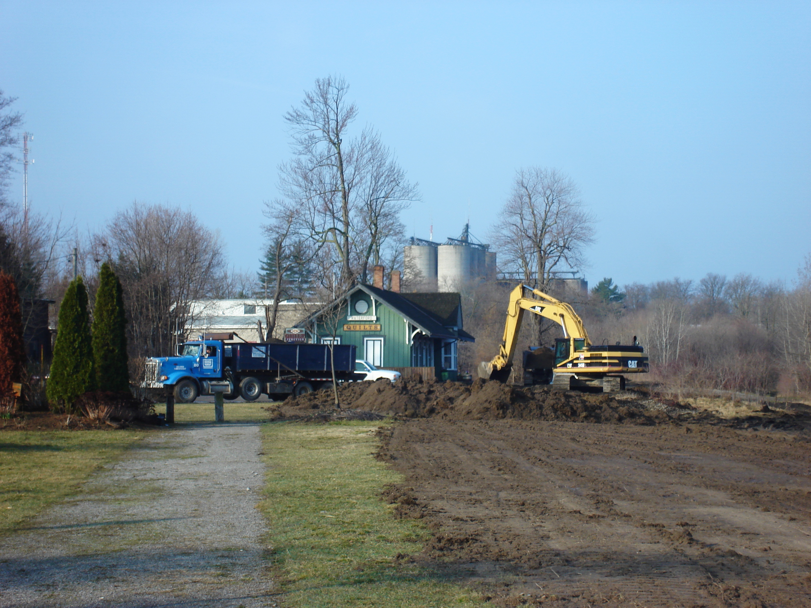
- RLRC arranges the trade of gravel for topsoil in the switching area from the historic train station to St. James Street causeway.
- First community clean-up day held.
- June – Grand Opening of the Black Bridge.
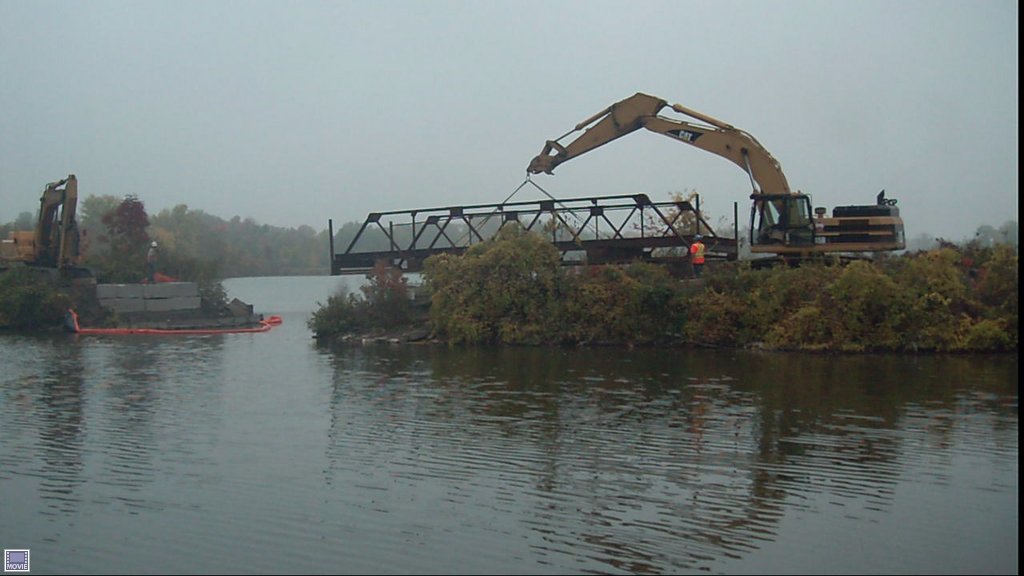
- July – RLRC arranges delivery of the Meidema Bridge, donated by Haldimand County, for west gap connection.
- Trillium $95,000 grant for a paved trail from the Black Bridge spur line into Waterford.
- October – Installation of the Meidema Bridge across the west gap – now known as West Gap Bridge.
- Trail into Waterford planned, graded and gravelled.
- RLRC arranges Boardwalk Bridge spanning wetlands installed.
- RLRC arranges installation of a stairway linking upper trail to lower trail just north of the Black Bridge parking lot.
2011
- Waterford Lions Club provides grant of $2,500.
- Lease extension to Mechanic St. – 1.5 km.
- $5,000 from Ontario Power Generation (OPG).
- Norfolk County purchases CPR rail lands from Robinson Rd to WHT north.
- ORC amends Valee’s engineering drawings on the Black Bridge.
- Railway Lands Redevelopment Committee (RLRC) established as a subcommittee of the WHTA. RLRC executive established: Andy Kooistra named as Chair, Karen Lindsay named as Sectary, Ross Coomber named as Treasurer for WHTA and RLRC.
- Completion of the trail from College St, along with the CPR lands to the WHT lower trail.
- Black Bridge to College Street paved.
- Lease extension to Concession 7.
2010
- Grading and compacting surface from Thompson Road to Black Bridge along with the spur line and the Black Bridge to College St.
- Trans Canada Trail funds Black Bridge engineering study.
- $75,000 Trillium Grant to pave from Thompson Road to Black Bridge.
- Norfolk Community Foundation $5,000 grant.
- Grand opening of Brant Waterways Trail from Brantford to Jenkin’s Road.
2009
- Toronto Dominion Friends of the Environment $50,000 grant.
- Coalition of Canadian National Trails Organization $50,000 grant.
- Lease extension from Thompson Road to Black Bridge (Nichol St) 1.4 km and the building of the Rotary Sunrise Trail from Concession 13 to Simcoe making a trail from Waterford to Simcoe. WHT extended from Mechanic Street to Norfolk County Line at Jenkin’s Road on the former TH&B railway trail.
2008
- WHTA executive established: Terry Bonnett was named as President, Frank Woodcock named as Secretary-Treasurer, and Laura and Nathaniel Bonnett were named as Directors.
- Remaining ORC trail section was constructed.
2005
- Norfolk County purchases TH&B railway from Mechanic Street in Waterford to Norfolk County Line (Jenkins Road).
2004
- Construction of granular surface on the first 2½ concessions.
2003
- A Trillium Grant of $47,500 was provided to Lynn Valley Trail to administer.
2001
- WHTA was formed with Garrett Forrest as President. Lease agreement with ORC was established for section Concession 13 to Mechanic Street.
2000
- Gord Pennington and the Lynn Valley Trail Association sought a Waterford group to form a trail using the old LE&N railway rail line from Waterford to Simcoe. Following this, a Public Advisory Committee (PAC) was established by the Province of Ontario’s Ontario Realty Corporation (ORC).
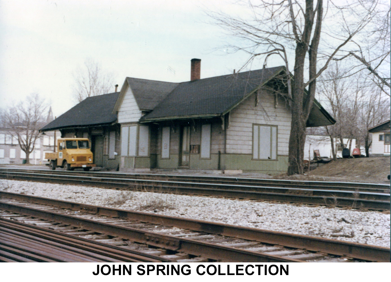
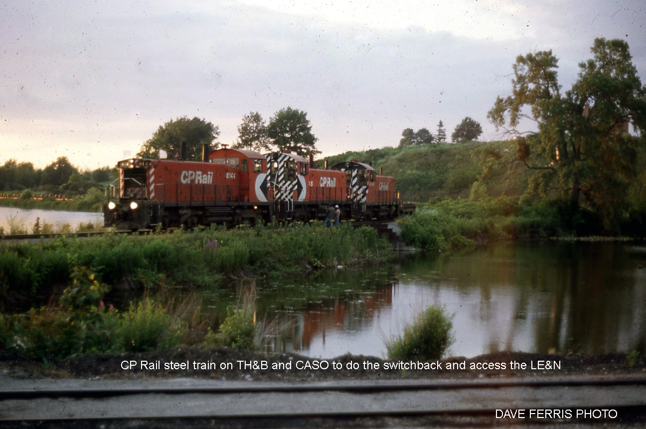
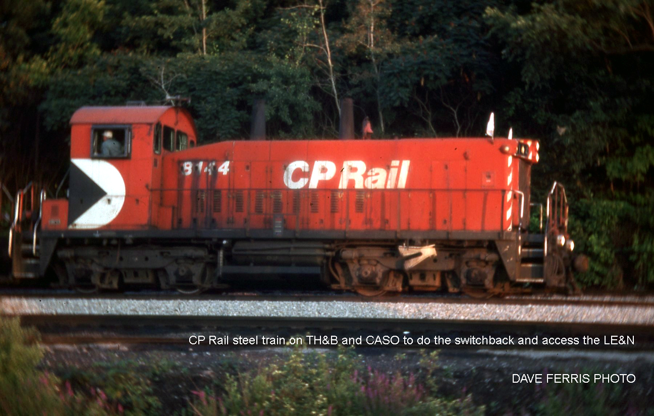
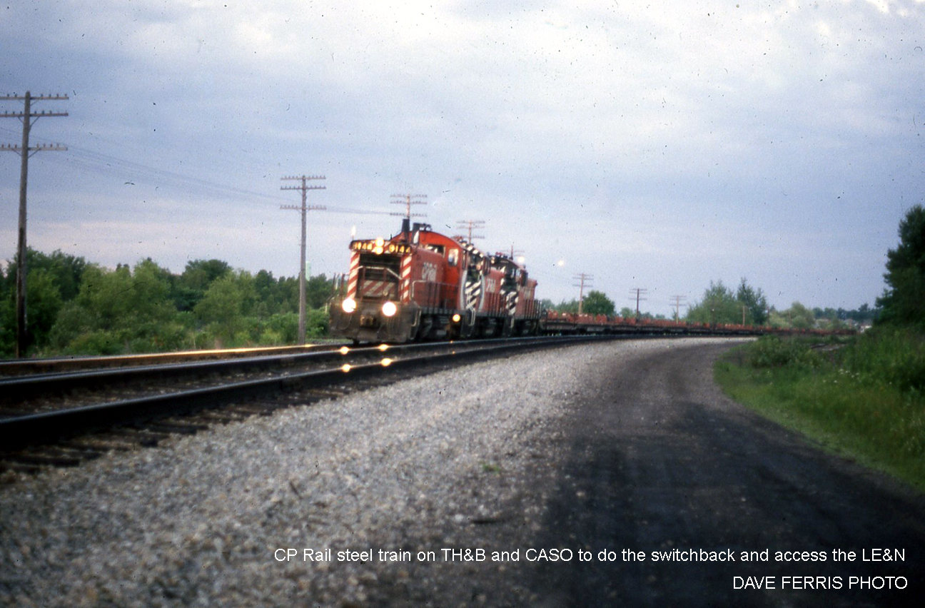
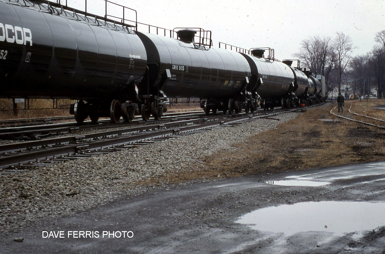
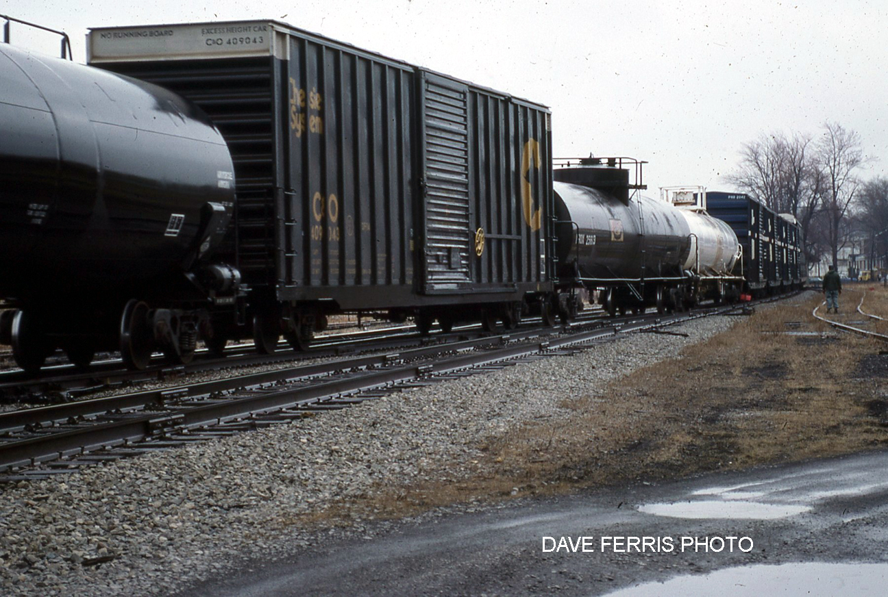
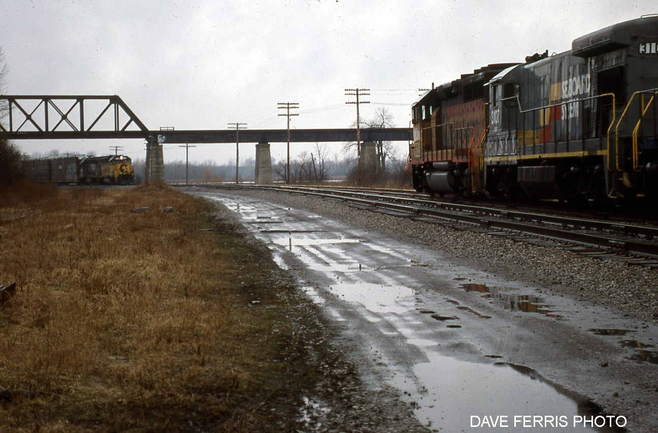
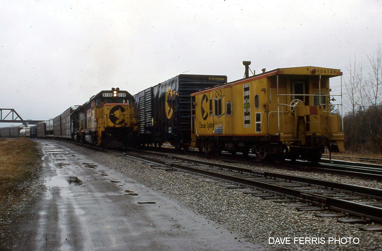
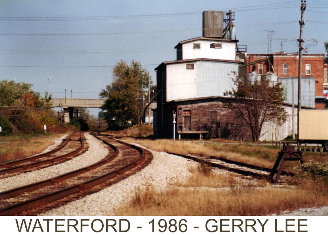
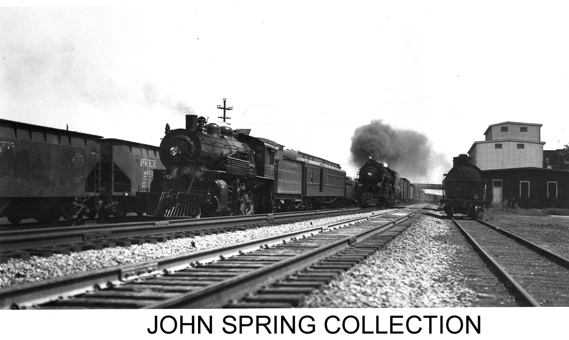
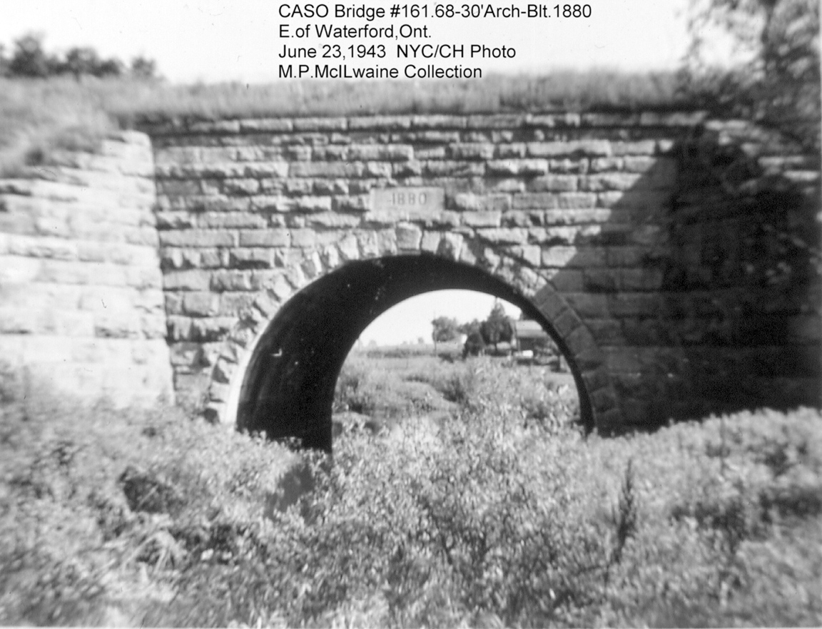
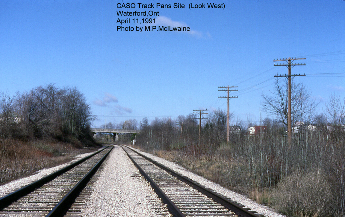
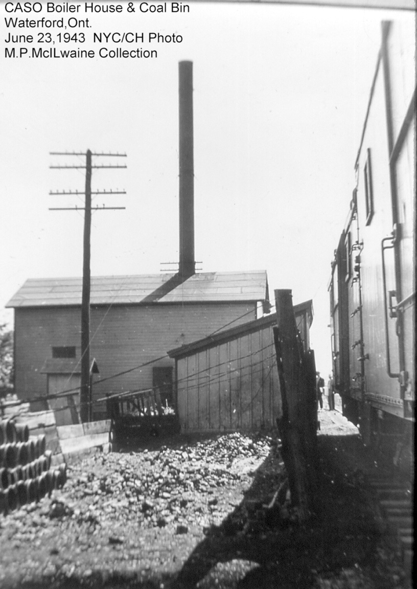
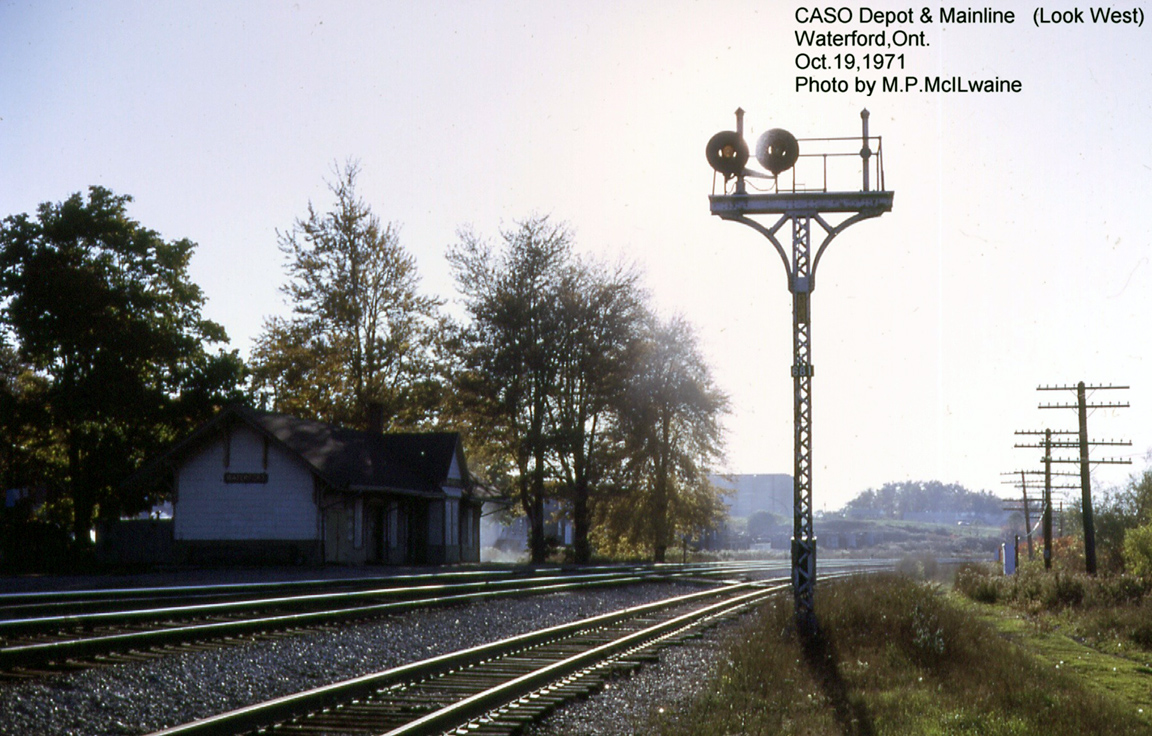
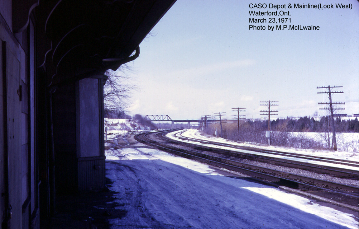
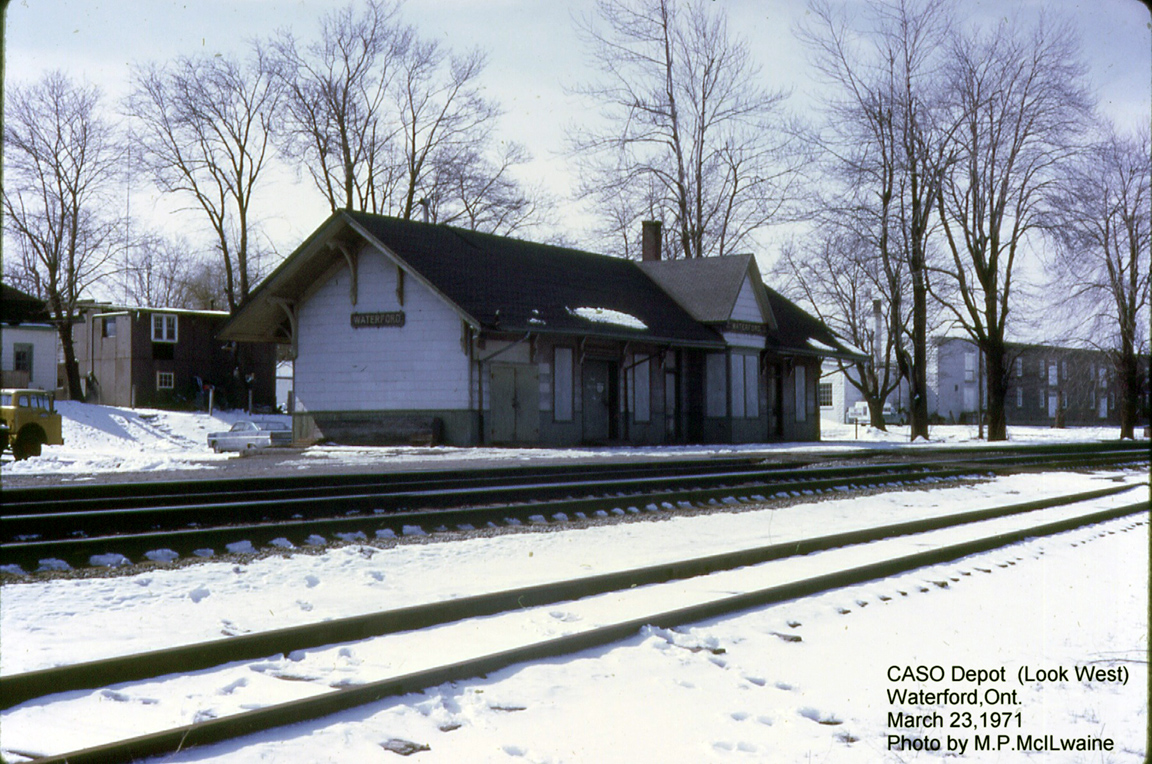
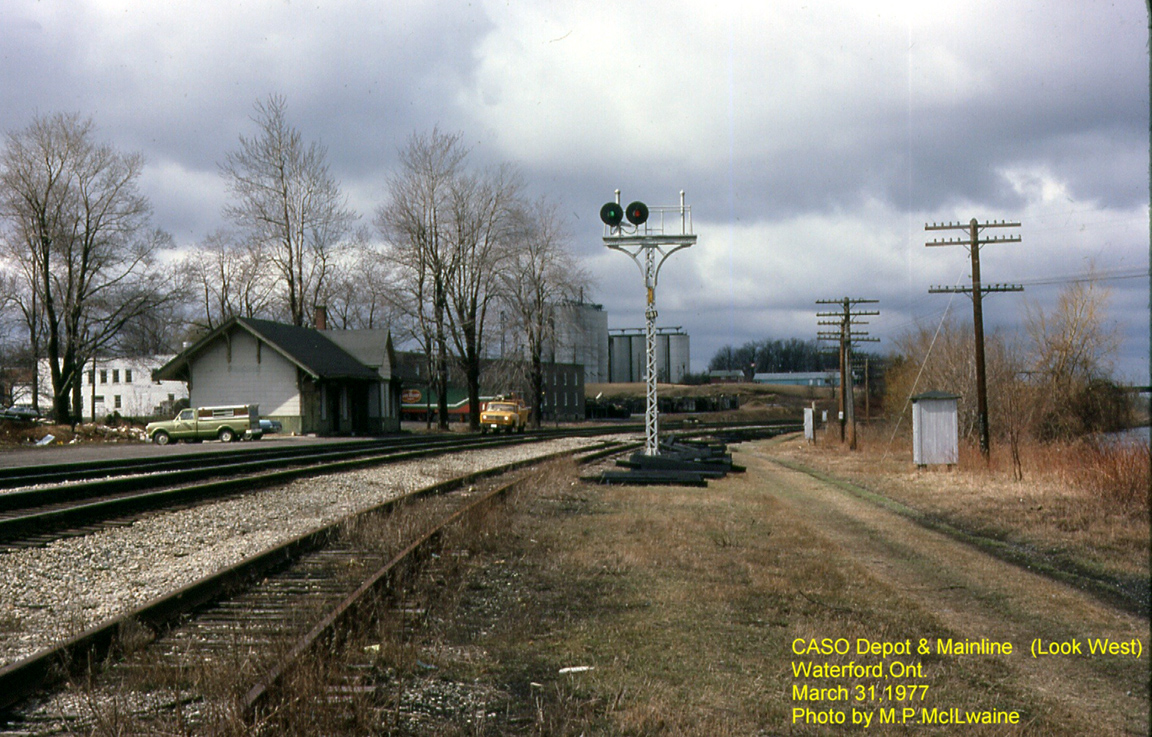
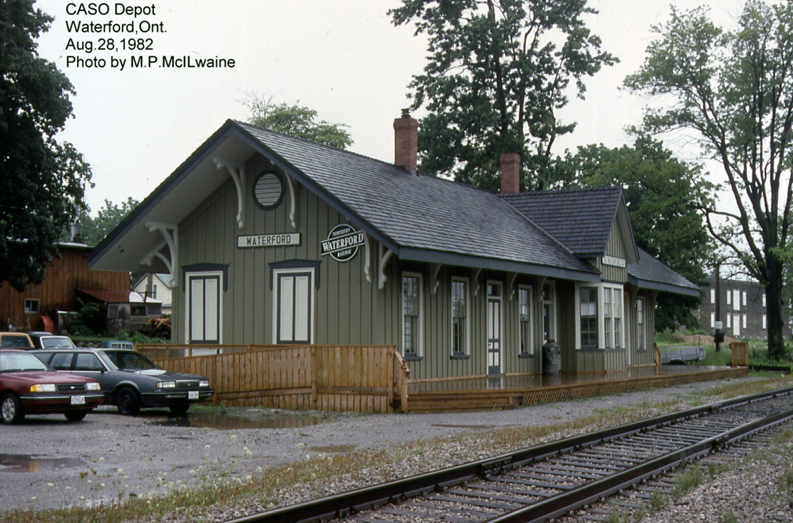
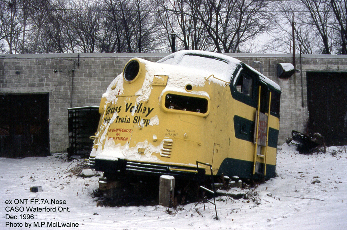
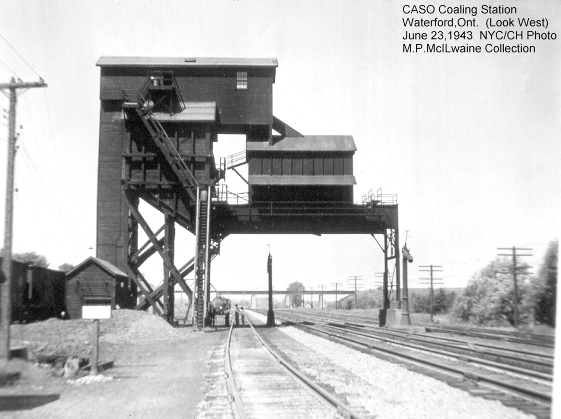
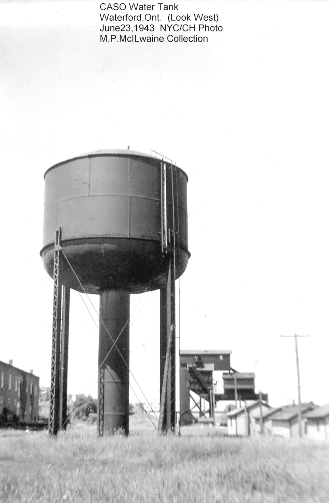
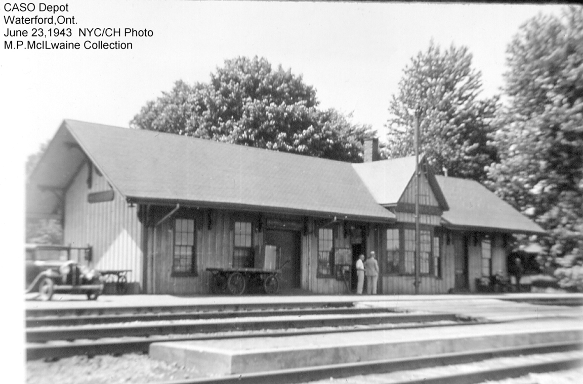
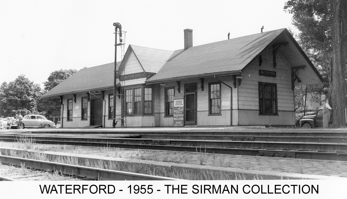
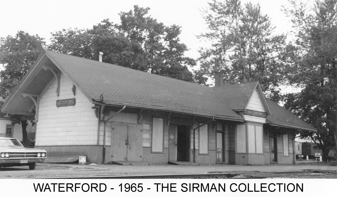
Historic photo gallery